
 The weather is finally warming up and I’m seeing more people on the trails. Recently, I headed to Thumb Butte to hike a new trail. You are probably aware of the loop trail that goes to the top of Thumb Butte, but did you know there are lots of trails on the north side of the road? Even if you’ve hiked some of these trails before, you might want to check them out again. The Greater Prescott Trail Planning group has added some new trails in that area. With help from the “Over the Hill Gang,” Prescott National Forest improved some of the social trails, making them full-fledged hiking and biking trails. One of those is the Piglet (trail 328). That was the trail I was heading for that day.
I wasn’t sure how the trail got its name until a family of javalina ran across the road in front of my car. I decided the trail was named for those pig-like animals that inhabit the area.
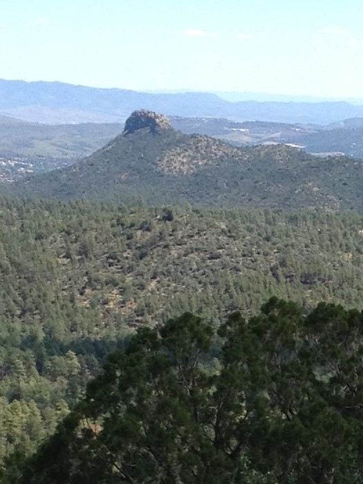
Once you reach the Thumb Butte picnic area and pay the $5 fee (It’s free on Wednesday), park near the host campsite. To reach trail 328, you will need to begin on 315. The trailhead is just to the left of the host. From 315, you will go on trail 317 for a short distance before reaching a gate that goes to some houses. Turn left at the gate, and you will be on trail 328. You will be treated to amazing views of the San Francisco Peaks, and Granite Mountain, as well as Little Granite Mountain. 
Trail 328 ends at the 316. Go left onto 316 and it will return you to the parking lot. If you would like a longer hike, turn right on 316. There are plenty of pines and a little creek to cross. When you reach the 317, turn left to go back to the parking lot. Enjoy the views of Thumb Butte along the way.


